The Great World Maps
Mercator's World Map
The projection that let sailors steer a straight line.
- Map
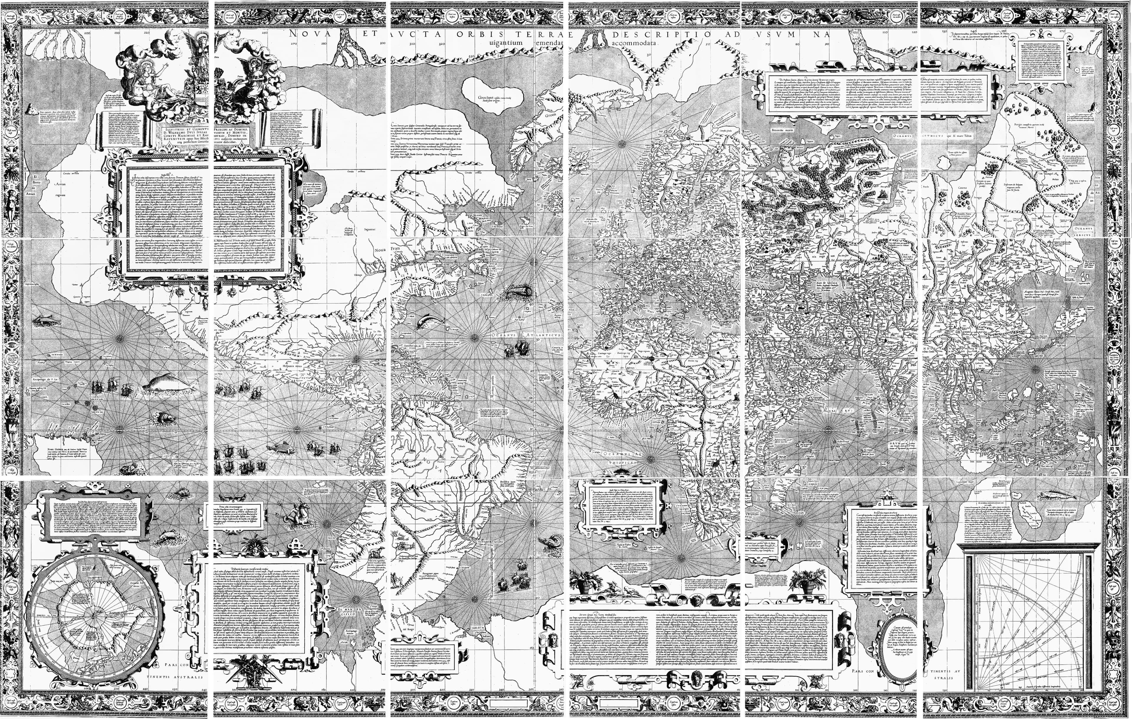
- Nova et Aucta Orbis Terrae Descriptio
- Mapmaker
- Gerardus Mercator
- Date
- 1569
- Held by
- Published Duisburg
Format
The full-resolution scan, color-managed to the source — yours to print, study, and explore.
Size
$29.00
The story
Gerardus Mercator solved a problem that had defeated everyone: how to flatten a round world so a ship's compass course would draw as a straight line. His 1569 projection stretched the poles toward infinity — Greenland swelling to the size of Africa — but a navigator could at last rule a line and sail it. Five centuries on, it is still the map on your phone. The chart that made the ocean crossable, and quietly reshaped how the whole world pictures itself.
About this reproduction
- A faithful reproduction of a public-domain map held by Published Duisburg — the work is centuries out of copyright.
- Printed to order on 200gsm EMA matte art paper or 400gsm canvas; framed pieces sit behind acrylic.
- Color-managed to the source scan; we correct nothing and invent nothing.
- Ships in 5–10 business days, rolled in a heavy-wall tube (framed and linen-backed pieces ship flat-packed).
- If it arrives less than perfect, we reprint or refund — your choice.
Why our maps cost more than a poster: we print from the highest-resolution scans in existence, at sizes where the engraving itself becomes visible — the sea monsters, the tiny place-names, the burin lines — on matte paper that holds every line without glare.