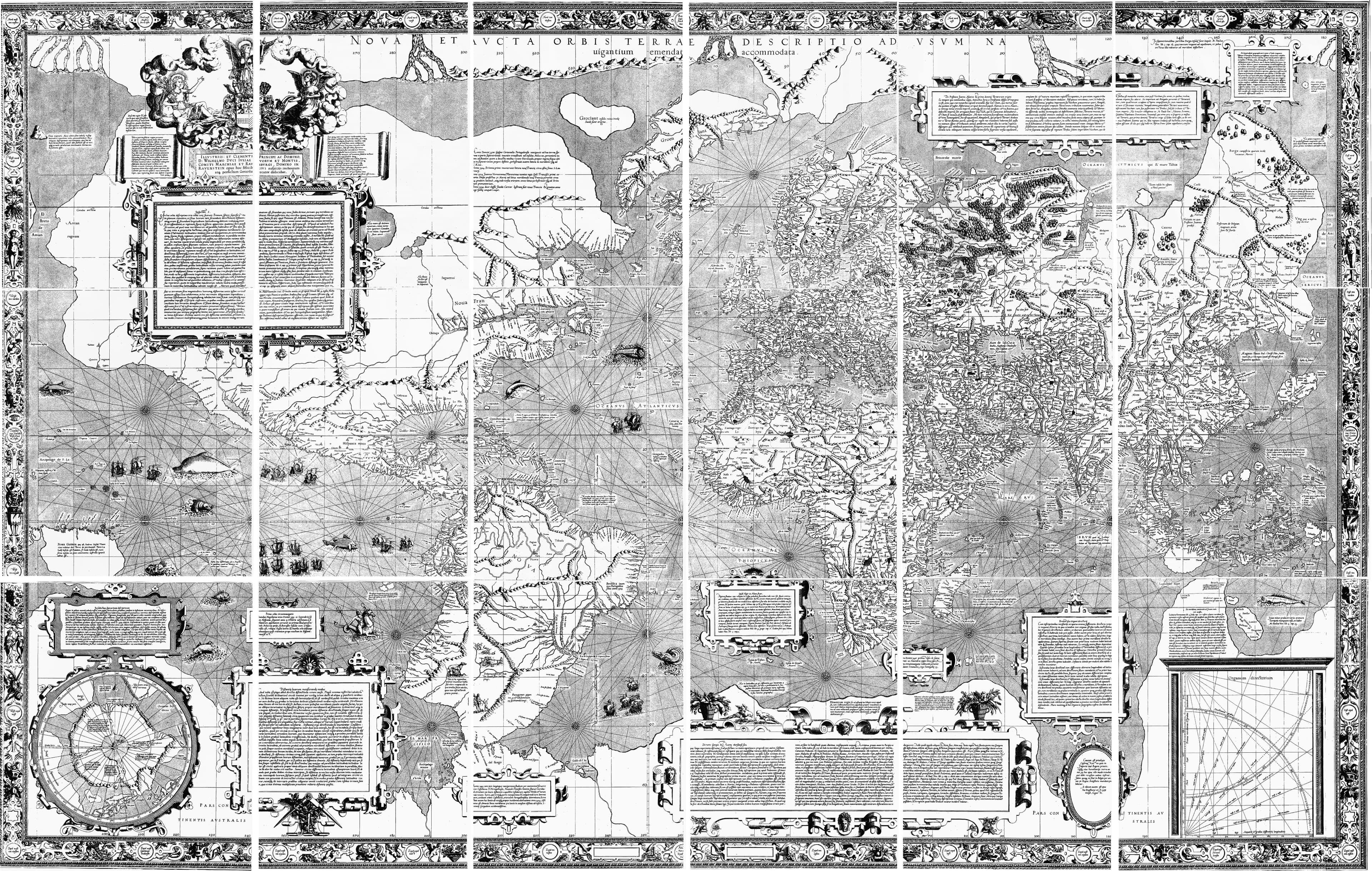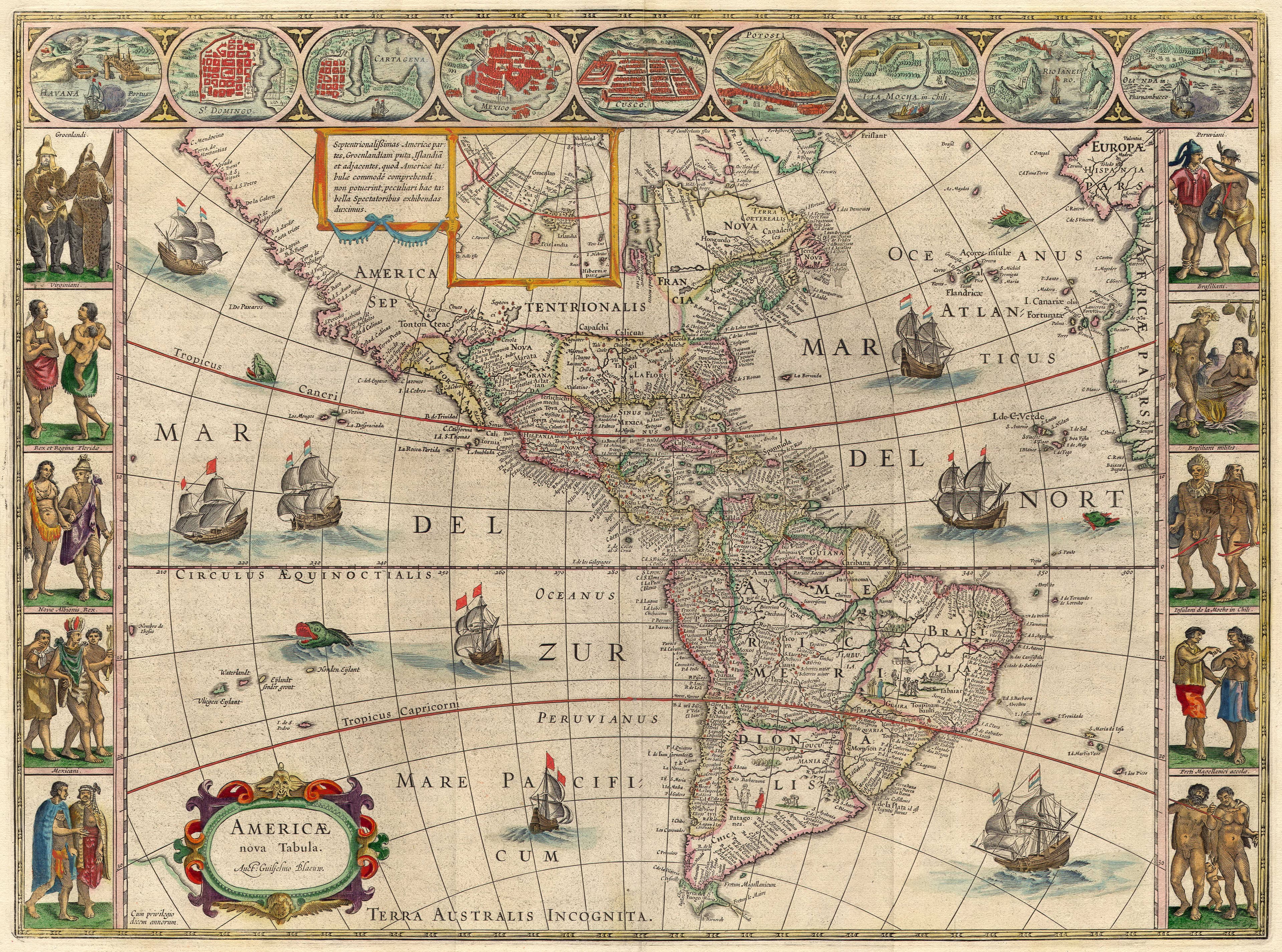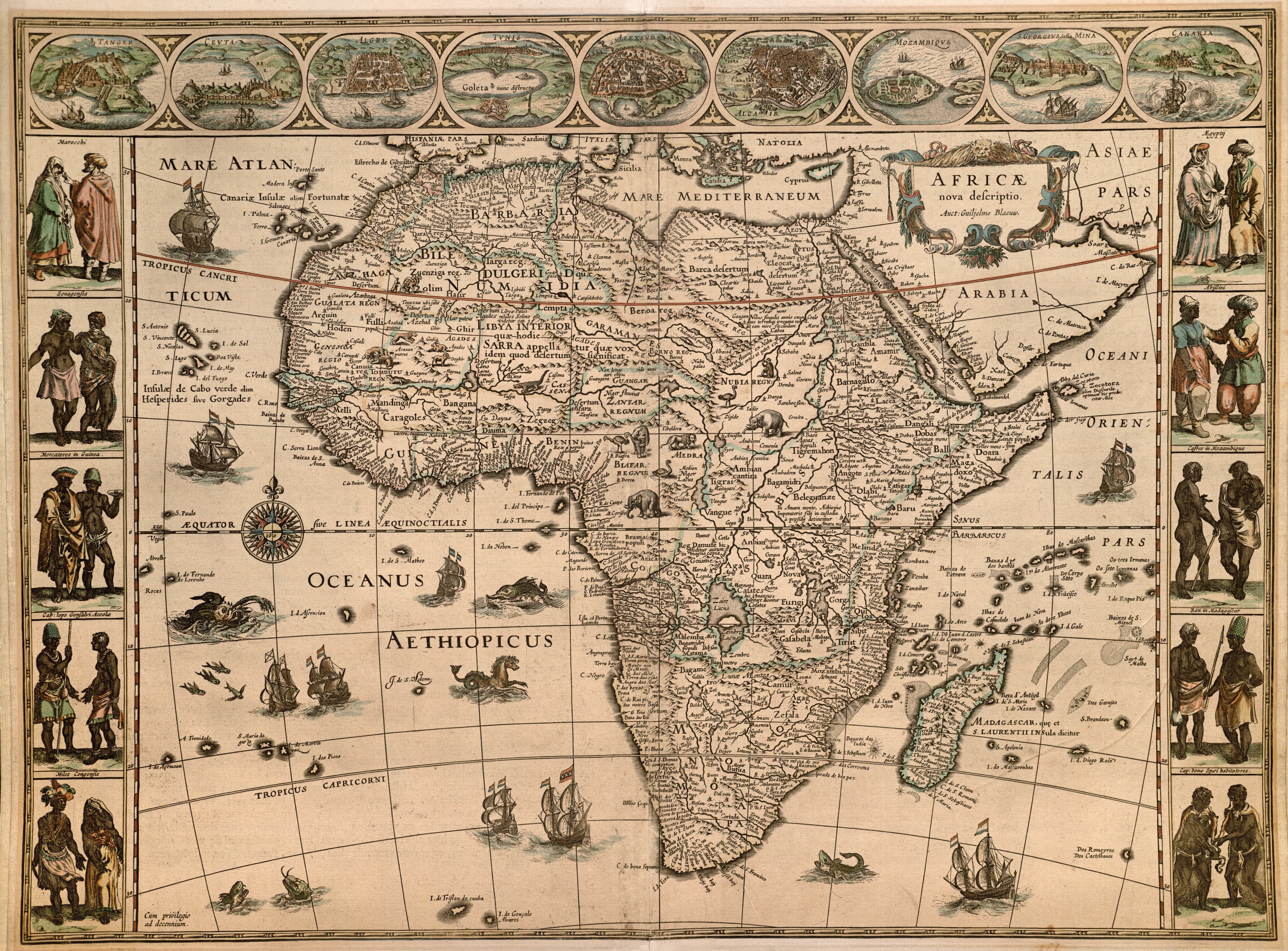
The Continents
The North Pole
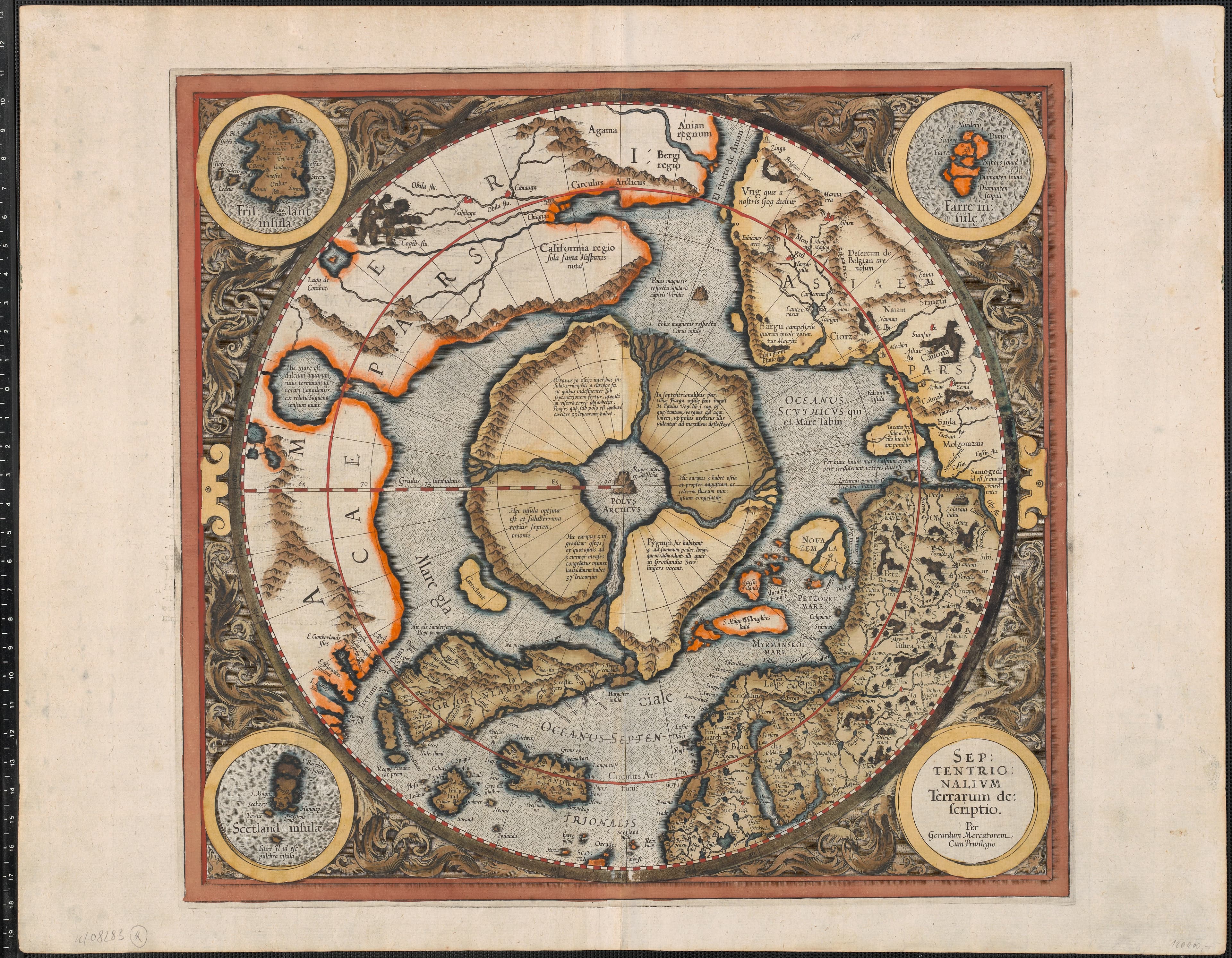
A black magnetic mountain at the top of the world.
- Map
- Septentrionalium Terrarum descriptio
- Mapmaker
- Gerardus Mercator
- Date
- 1595
- Held by
- Published in Mercator's Atlas
Format
The full-resolution scan, color-managed to the source — yours to print, study, and explore.
Size
$29.00
The story
The first map devoted to the Arctic is also the strangest here. Mercator, with no traveler ever to have reached it, filled the Pole from legend: a colossal black magnetic rock — the Rupes Nigra — standing at the exact top of the world, ringed by four islands and four great rivers rushing inward to a whirlpool that swallowed the polar sea. It is a map of pure imagination pretending to be science, and all the more magical for it. The unknown, rendered with a straight face.
About this reproduction
- A faithful reproduction of a public-domain map held by Published in Mercator's Atlas — the work is centuries out of copyright.
- Printed to order on 200gsm EMA matte art paper or 400gsm canvas; framed pieces sit behind acrylic.
- Color-managed to the source scan; we correct nothing and invent nothing.
- Ships in 5–10 business days, rolled in a heavy-wall tube (framed and linen-backed pieces ship flat-packed).
- If it arrives less than perfect, we reprint or refund — your choice.
Why our maps cost more than a poster: we print from the highest-resolution scans in existence, at sizes where the engraving itself becomes visible — the sea monsters, the tiny place-names, the burin lines — on matte paper that holds every line without glare.