The Great World Maps
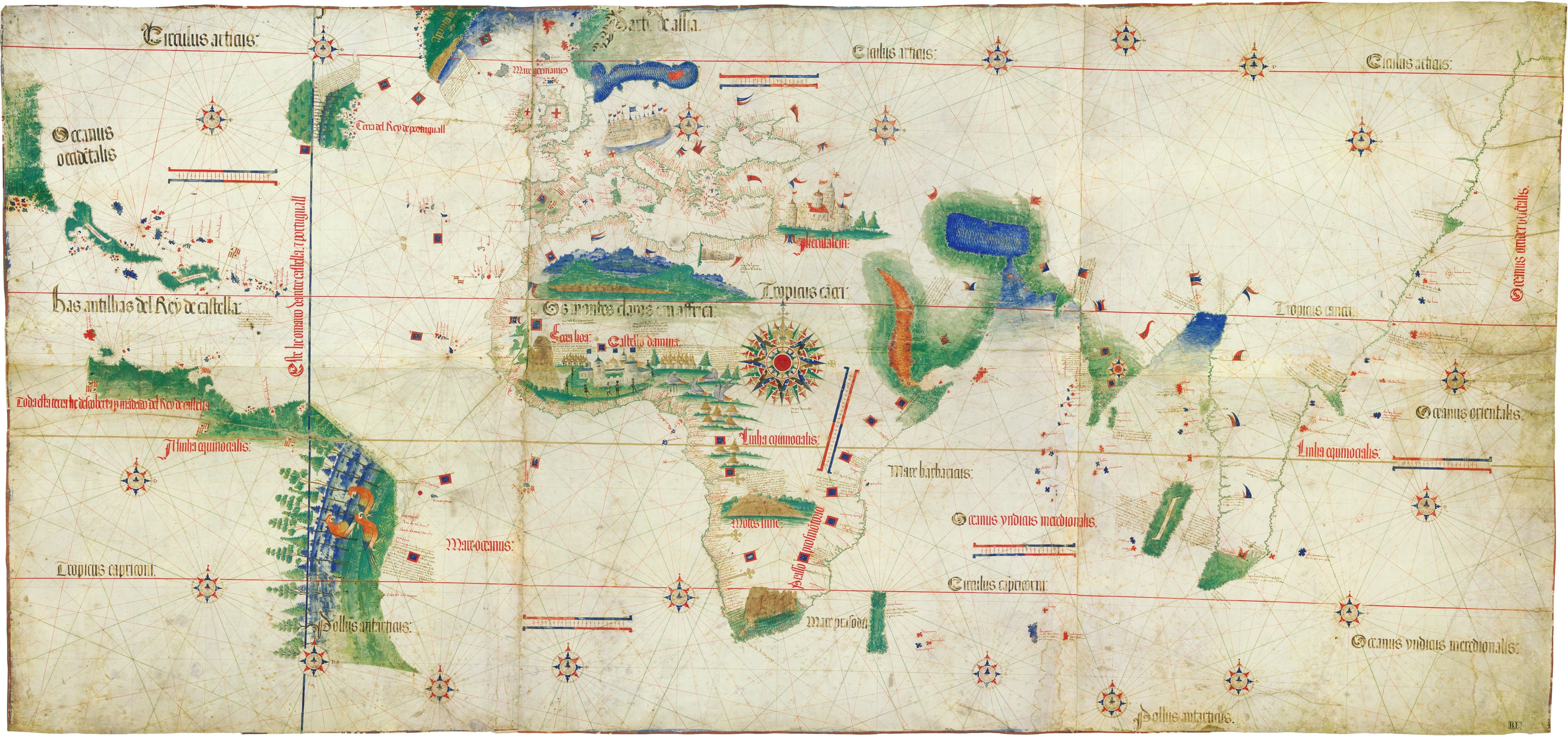
The Cantino Planisphere
A state secret, smuggled out of Portugal.
- Map
- Carta da navigar per le Isole novamente trovate
- Mapmaker
- Anonymous Portuguese cartographer
- Date
- 1502
- Held by
- Biblioteca Estense, Modena
Format
The full-resolution scan, color-managed to the source — yours to print, study, and explore.
Size
$29.00
The story
Portugal's discoveries were a matter of national security — so when Alberto Cantino, an agent of the Duke of Ferrara, wanted the newest map of the world, he had it smuggled out of Lisbon. The result is one of the earliest surviving charts of the Age of Discovery, showing the coasts of Africa, India, and a startlingly fresh Brazil, split by the Line of Tordesillas along which the Pope had divided the unknown world between two crowns. Espionage, empire, and an ocean of green paint.
About this reproduction
- A faithful reproduction of a public-domain map held by Biblioteca Estense, Modena — the work is centuries out of copyright.
- Printed to order on 200gsm EMA matte art paper or 400gsm canvas; framed pieces sit behind acrylic.
- Color-managed to the source scan; we correct nothing and invent nothing.
- Ships in 5–10 business days, rolled in a heavy-wall tube (framed and linen-backed pieces ship flat-packed).
- If it arrives less than perfect, we reprint or refund — your choice.
Why our maps cost more than a poster: we print from the highest-resolution scans in existence, at sizes where the engraving itself becomes visible — the sea monsters, the tiny place-names, the burin lines — on matte paper that holds every line without glare.