The Great World Maps
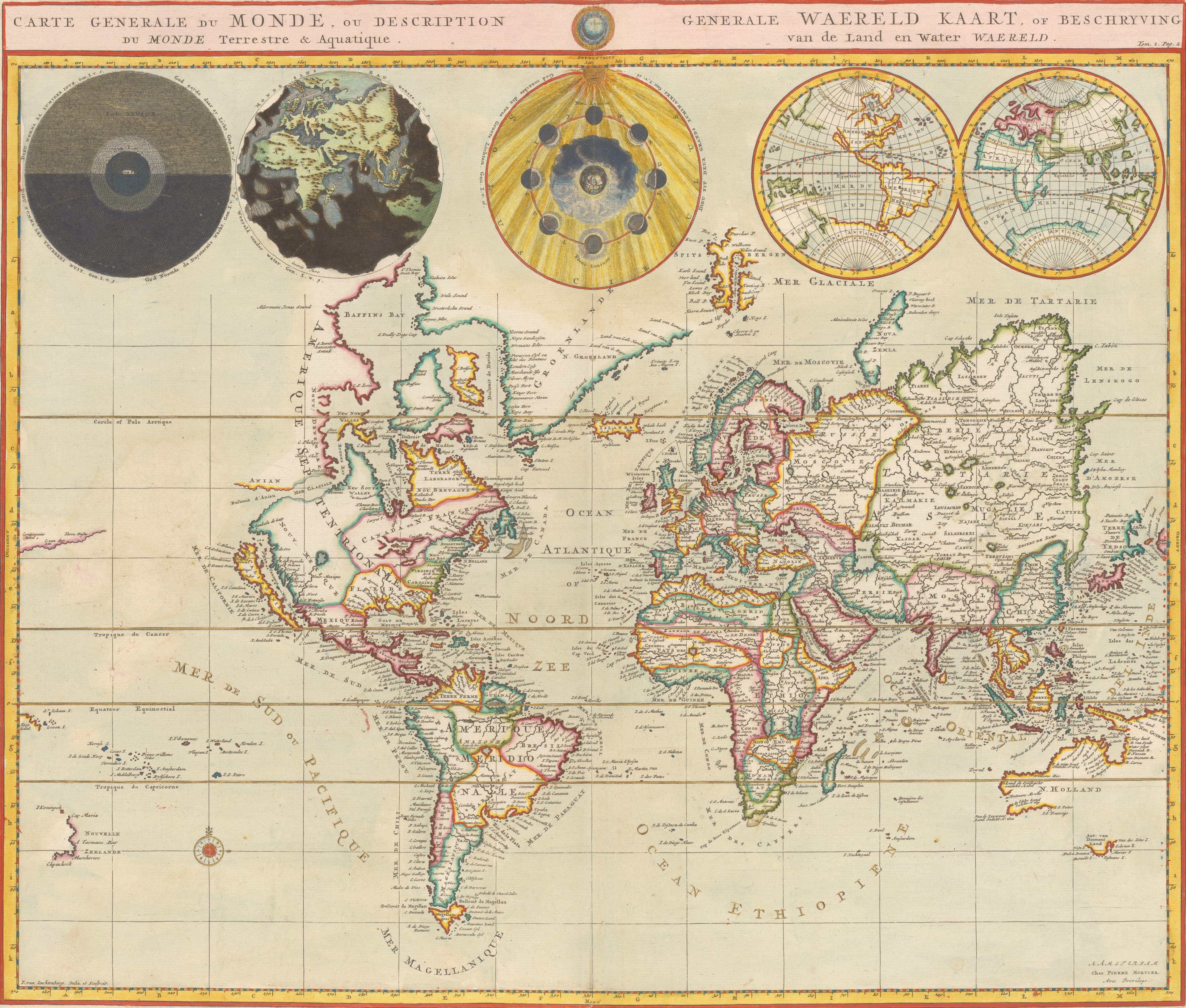
Mortier's World for the Bible
Five globes, three of them from Genesis.
- Map
- Carte generale du monde, ou Description du monde terrestre & aquatique
- Mapmaker
- Pieter Mortier I
- Date
- 1700
- Held by
- Rijksmuseum, Amsterdam
Format
The full-resolution scan, color-managed to the source — yours to print, study, and explore.
Size
$29.00
The story
Pieter Mortier published this general map of the world, of land and water, in French and Dutch, as a folding plate in the second part of his picture Bible, Amsterdam, 1700. Above the map stand five globes: day and night on the Earth, the Earth without water, the phases of the moon, and the western and eastern hemispheres. The first three carry references to passages in Genesis. A grid and a scale of degrees run around the edges, and the colour is by hand. The creation and the map, on one sheet.
About this reproduction
- A faithful reproduction of a public-domain map held by Rijksmuseum, Amsterdam — the work is centuries out of copyright.
- Printed to order on 200gsm EMA matte art paper or 400gsm canvas; framed pieces sit behind acrylic.
- Color-managed to the source scan; we correct nothing and invent nothing.
- Ships in 5–10 business days, rolled in a heavy-wall tube (framed and linen-backed pieces ship flat-packed).
- If it arrives less than perfect, we reprint or refund — your choice.
Why our maps cost more than a poster: we print from the highest-resolution scans in existence, at sizes where the engraving itself becomes visible — the sea monsters, the tiny place-names, the burin lines — on matte paper that holds every line without glare.