The Continents
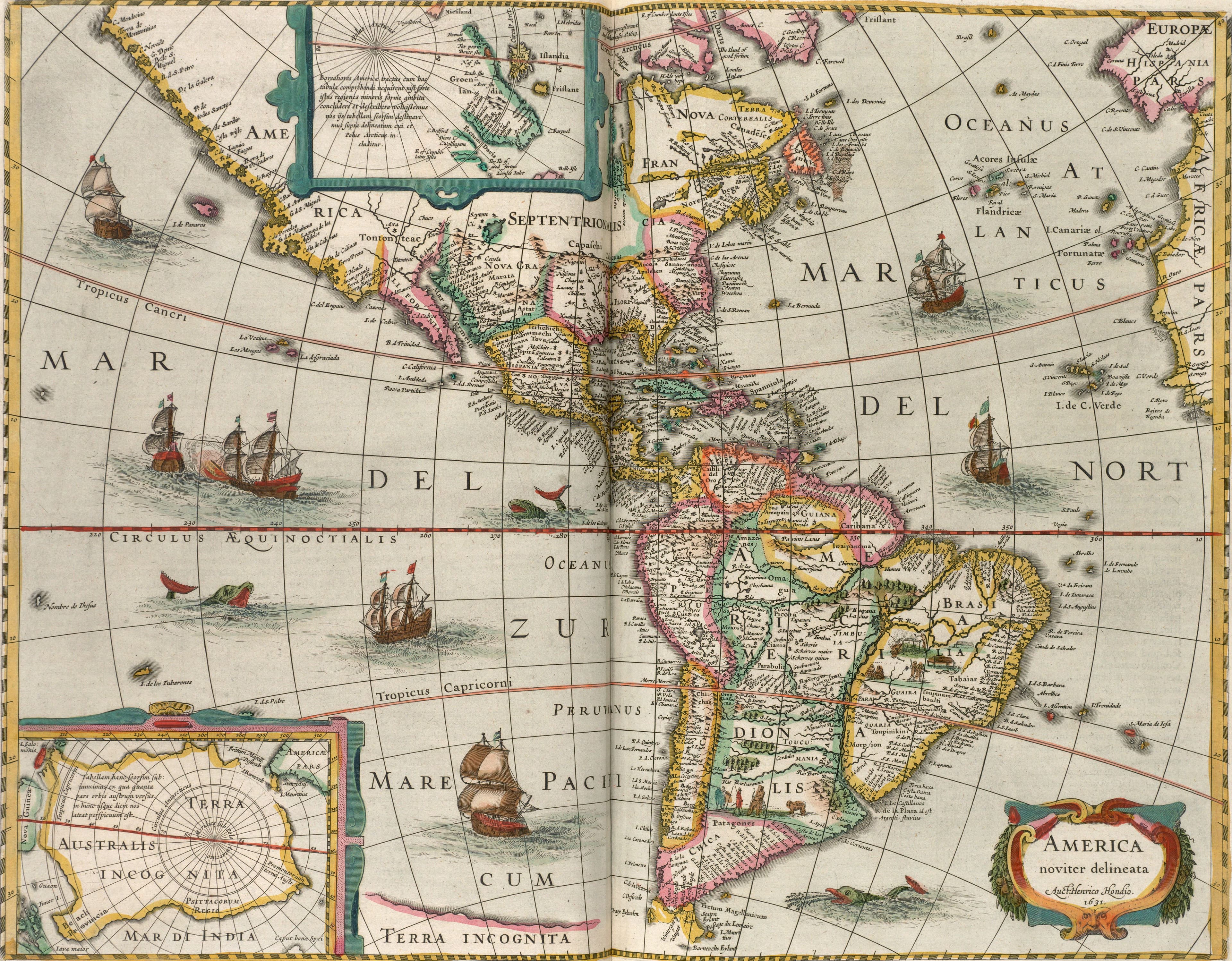
Hondius's America, Newly Drawn
Two continents, dated 1631, for a family atlas.
- Map
- America noviter delineata
- Mapmaker
- Henricus Hondius
- Date
- 1631, printed 1638
- Held by
- Norman B. Leventhal Map & Education Center, Boston Public Library · via Digital Commonwealth
Format
The full-resolution scan, color-managed to the source — yours to print, study, and explore.
Size
$29.00
The story
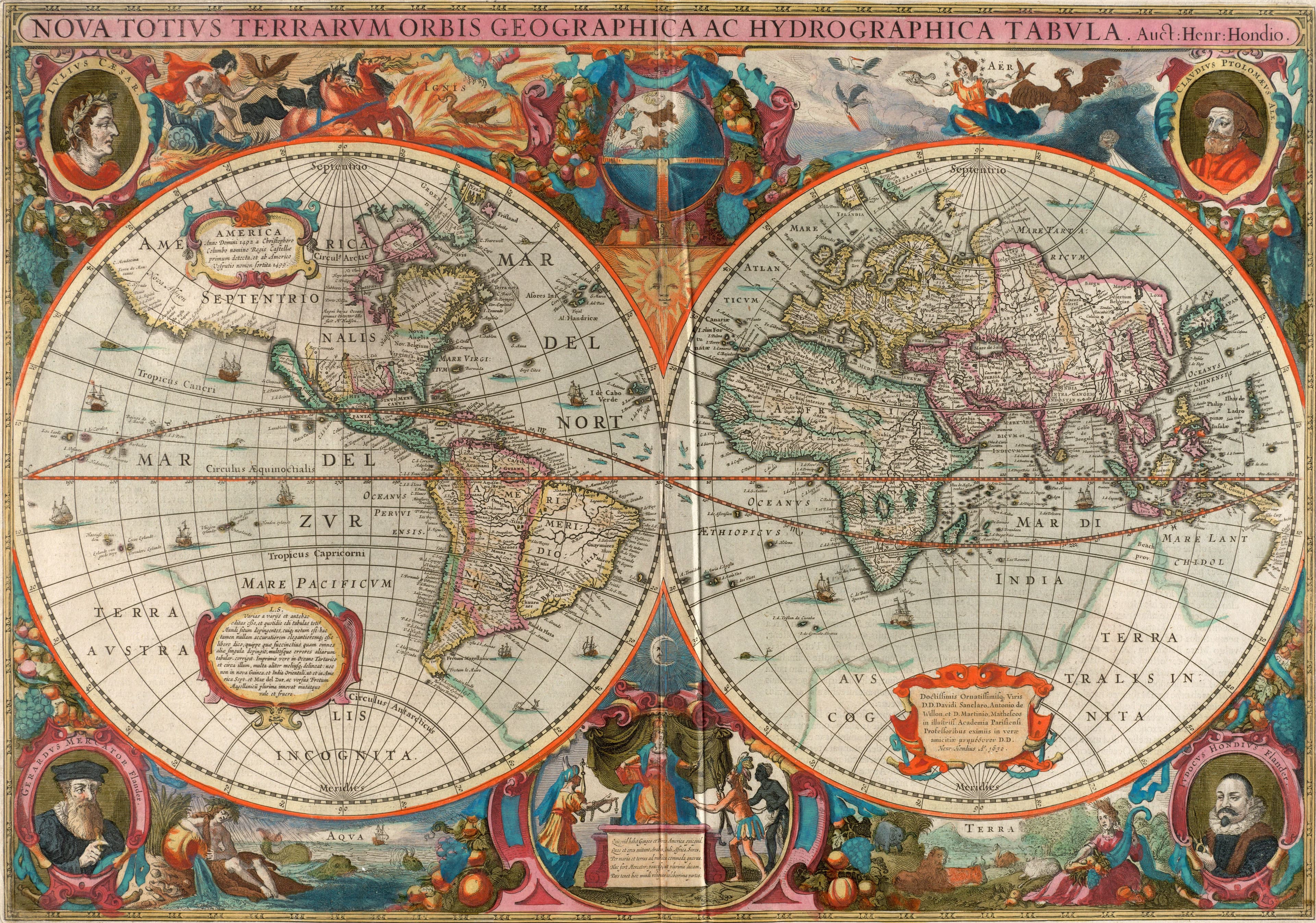
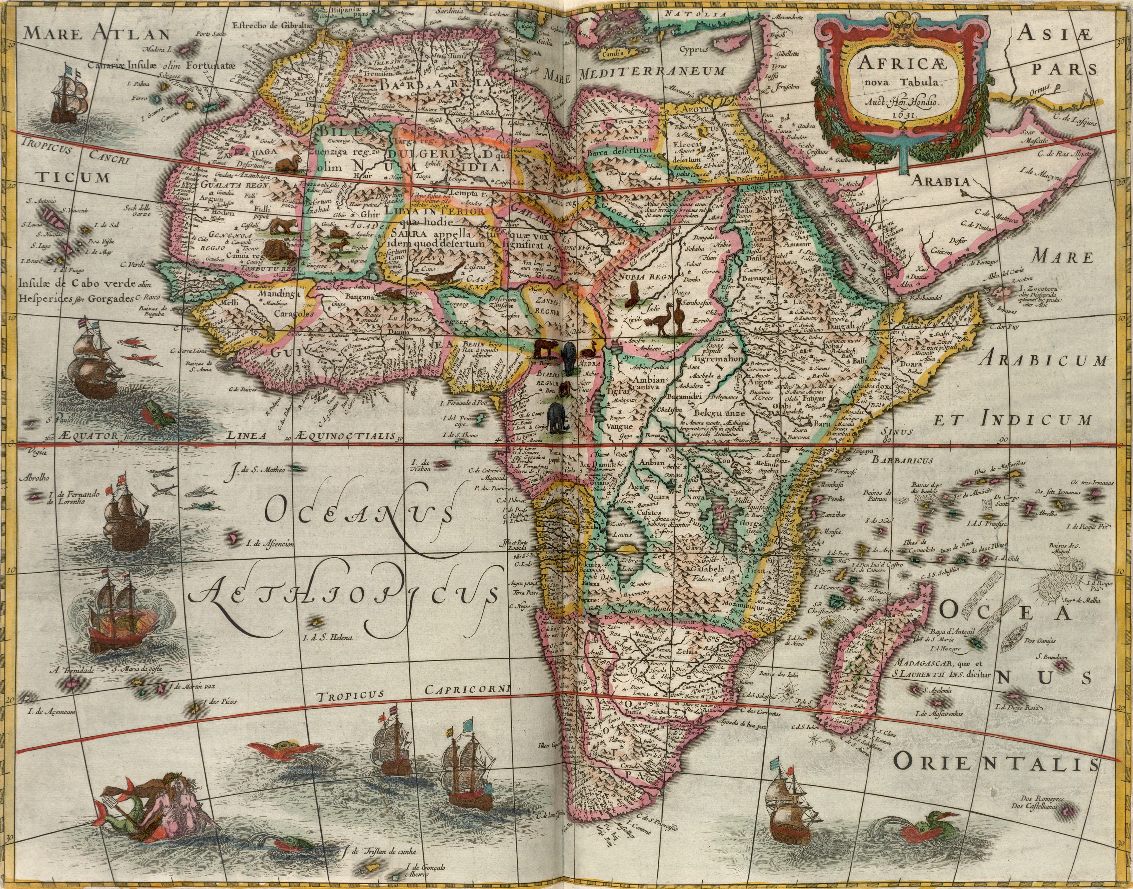
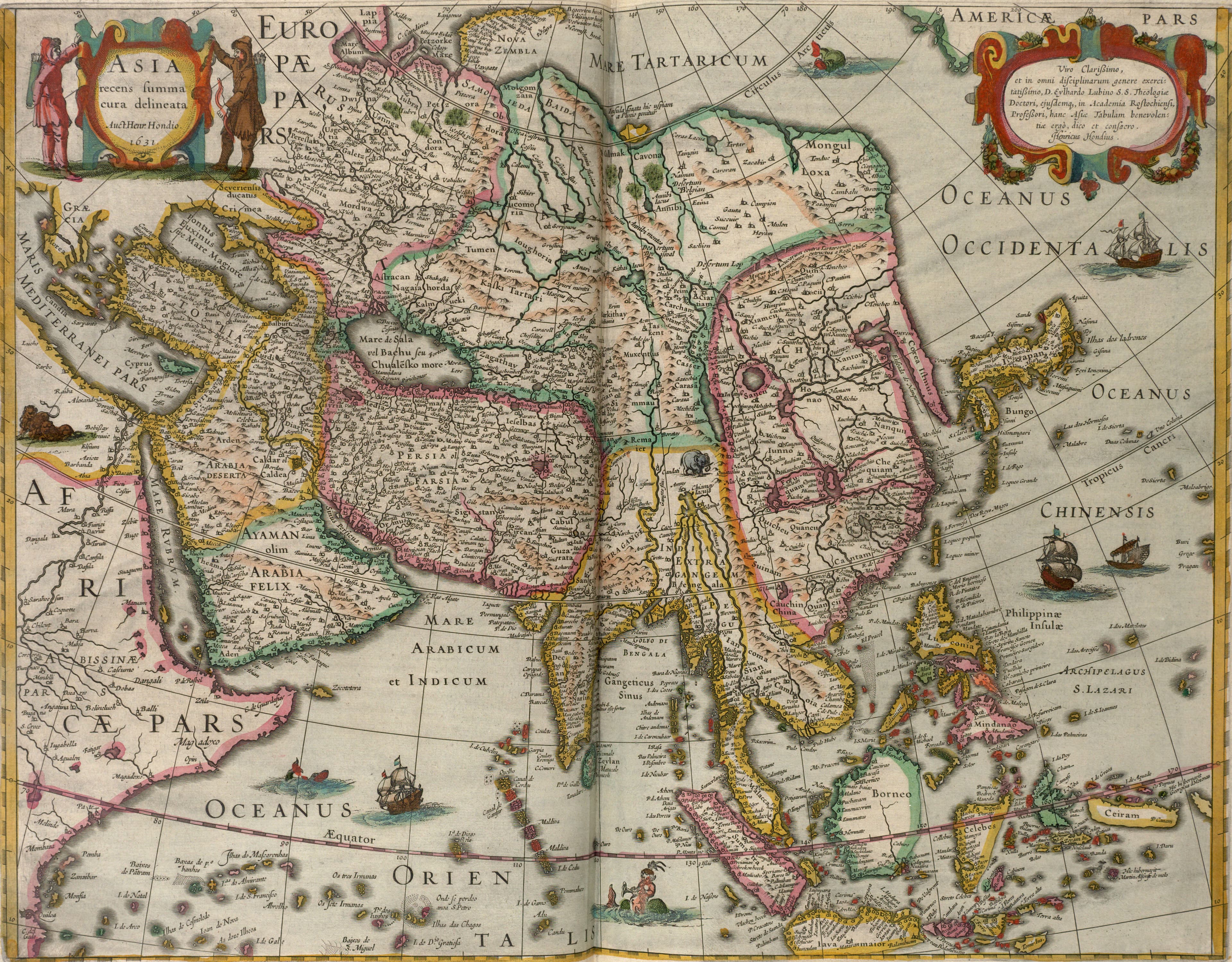
America noviter delineata means America newly drawn. Henricus Hondius dated the plate 1631, and it went into the Atlas Novus that he and Jan Jansson published in Amsterdam in 1638, the book that still carried Mercator's name on its title. Mountains rise as small drawn hills across both continents. Turn the sheet over and a printer's mark, Nnnn, tells the binder where it belonged in the book. It is one of four continent maps Hondius dated 1631 for the atlas, with Africa, Asia and Europe, and the four read best hung together, the way the book was meant to be read.
About this reproduction
- A faithful reproduction of a public-domain map held by Norman B. Leventhal Map & Education Center, Boston Public Library · via Digital Commonwealth — the work is centuries out of copyright.
- Printed to order on 200gsm EMA matte art paper or 400gsm canvas; framed pieces sit behind acrylic.
- Color-managed to the source scan; we correct nothing and invent nothing.
- Ships in 5–10 business days, rolled in a heavy-wall tube (framed and linen-backed pieces ship flat-packed).
- If it arrives less than perfect, we reprint or refund — your choice.
Why our maps cost more than a poster: we print from the highest-resolution scans in existence, at sizes where the engraving itself becomes visible — the sea monsters, the tiny place-names, the burin lines — on matte paper that holds every line without glare.