The Great World Maps
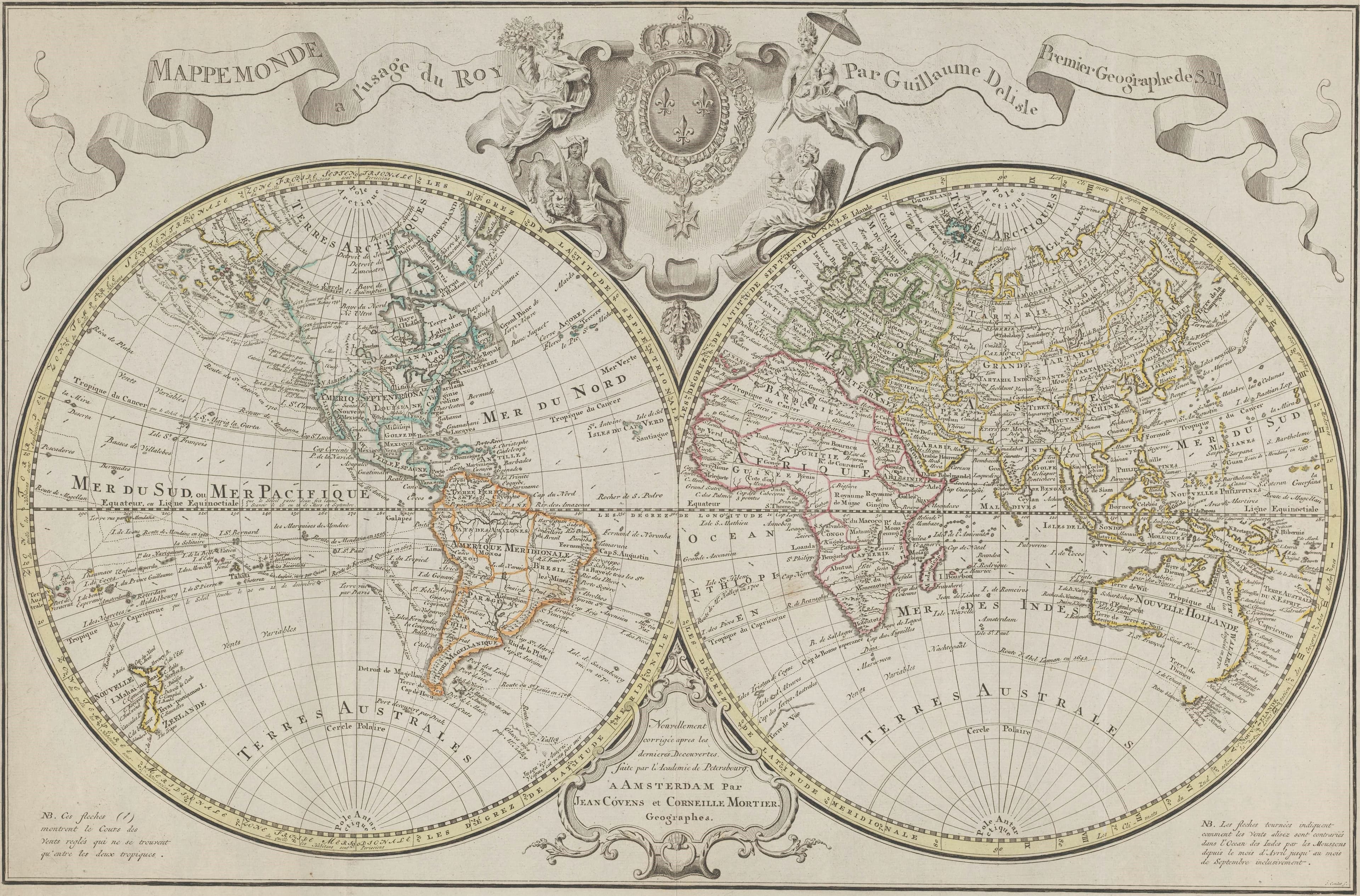
Delisle's World for the King
The world made for the king's use, reprinted in Amsterdam.
- Map
- Mappemonde a l'usage du roy
- Mapmaker
- Guillaume Delisle; published by Covens and Mortier
- Date
- 1721 to 1774
- Held by
- Rijksmuseum, Amsterdam
Format
The full-resolution scan, color-managed to the source — yours to print, study, and explore.
Size
$29.00
The story
Mappemonde à l'usage du roy: a map of the world for the king's use, by Guillaume Delisle, first geographer to His Majesty. This Amsterdam edition by Covens and Mortier divides the world into the eastern and western hemispheres under a banner with the title. In the middle sits the coat of arms of the kingdom of France, with the four great continents as figures around it. A grid of coordinates and a scale of degrees run along the edges, and the colour is by hand. A French royal map, sold by Dutch publishers to anyone who could pay.
About this reproduction
- A faithful reproduction of a public-domain map held by Rijksmuseum, Amsterdam — the work is centuries out of copyright.
- Printed to order on 200gsm EMA matte art paper or 400gsm canvas; framed pieces sit behind acrylic.
- Color-managed to the source scan; we correct nothing and invent nothing.
- Ships in 5–10 business days, rolled in a heavy-wall tube (framed and linen-backed pieces ship flat-packed).
- If it arrives less than perfect, we reprint or refund — your choice.
Why our maps cost more than a poster: we print from the highest-resolution scans in existence, at sizes where the engraving itself becomes visible — the sea monsters, the tiny place-names, the burin lines — on matte paper that holds every line without glare.