The Great World Maps
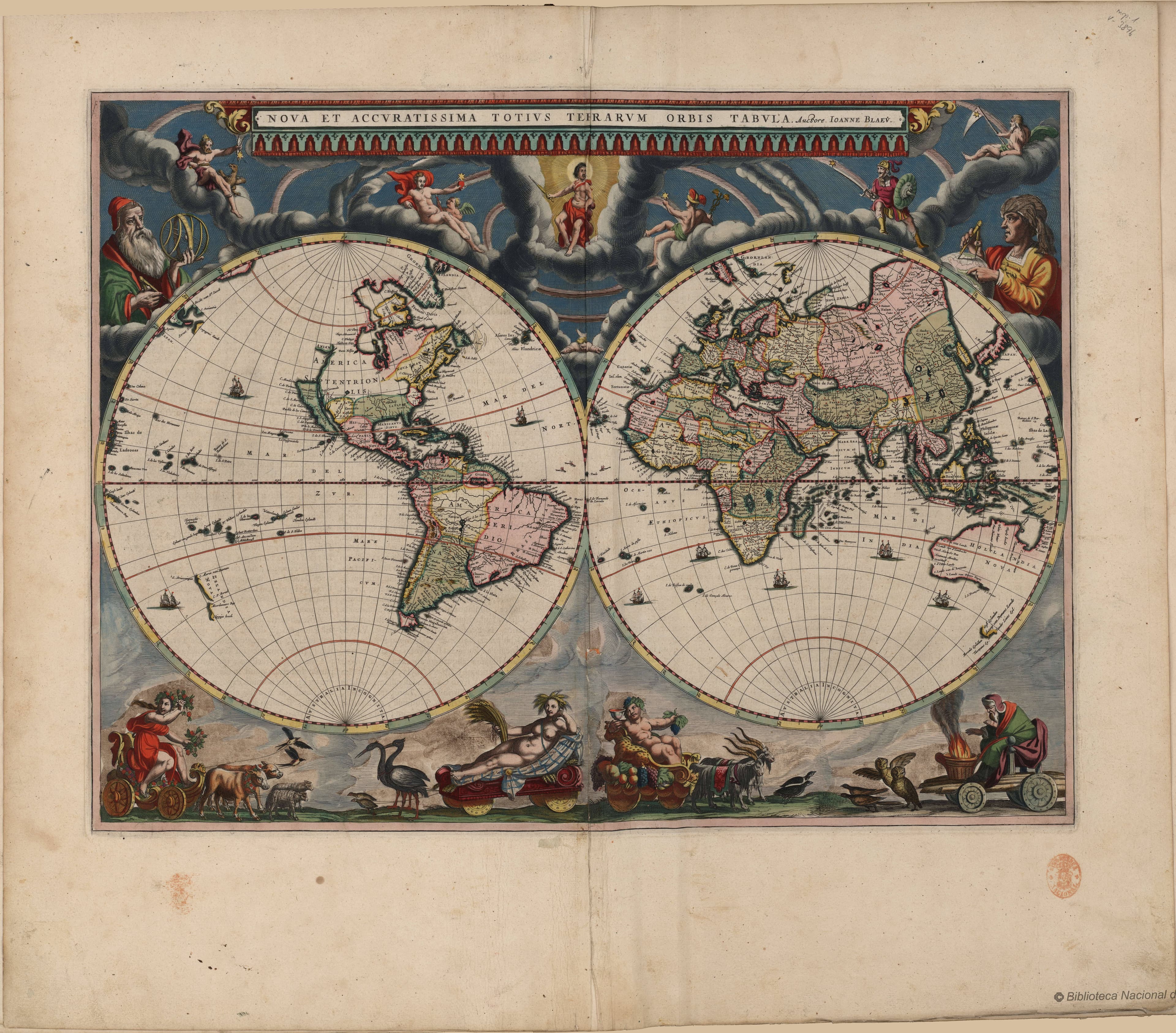
Nova Totius Terrarum Orbis
The Dutch Golden Age at its most magnificent.
- Map
- Nova Totius Terrarum Orbis Tabula
- Mapmaker
- Willem & Joan Blaeu
- Date
- 17th century
- Held by
- Biblioteca Nacional de España
Format
The full-resolution scan, color-managed to the source — yours to print, study, and explore.
Size
$29.00
The story
This is the map as an object of pure splendour. The Blaeu family, the greatest publishers of the Dutch Golden Age, framed the two hemispheres of the world with a cosmos of allegory — the seasons in the corners, the chariots of the planets across the top, the classical elements ringing the whole. It was made to hang in the counting-house of a merchant prince and announce that its owner's dealings spanned the Earth. Cartography as a statement of worldly reach and Baroque abundance.
About this reproduction
- A faithful reproduction of a public-domain map held by Biblioteca Nacional de España — the work is centuries out of copyright.
- Printed to order on 200gsm EMA matte art paper or 400gsm canvas; framed pieces sit behind acrylic.
- Color-managed to the source scan; we correct nothing and invent nothing.
- Ships in 5–10 business days, rolled in a heavy-wall tube (framed and linen-backed pieces ship flat-packed).
- If it arrives less than perfect, we reprint or refund — your choice.
Why our maps cost more than a poster: we print from the highest-resolution scans in existence, at sizes where the engraving itself becomes visible — the sea monsters, the tiny place-names, the burin lines — on matte paper that holds every line without glare.