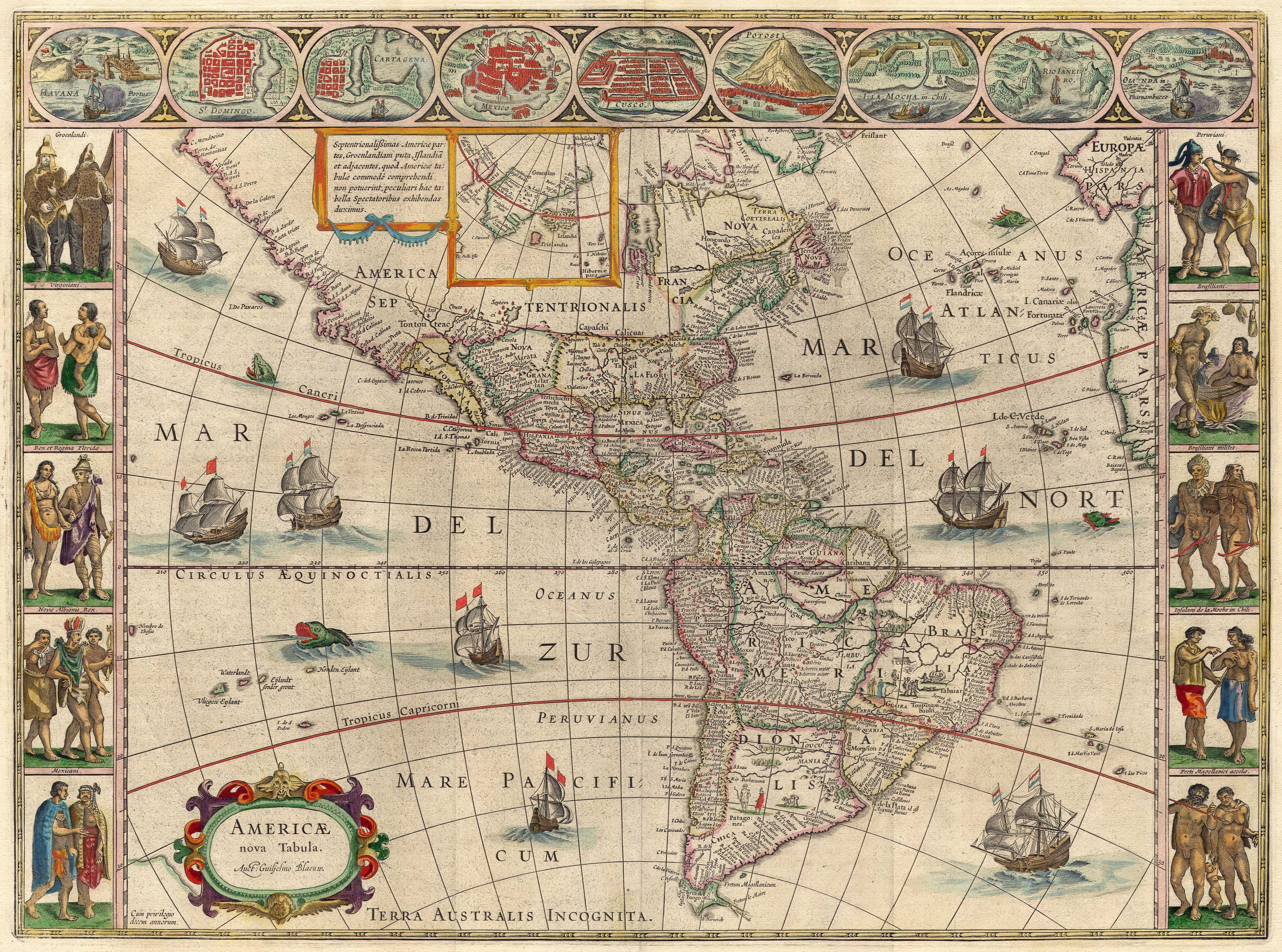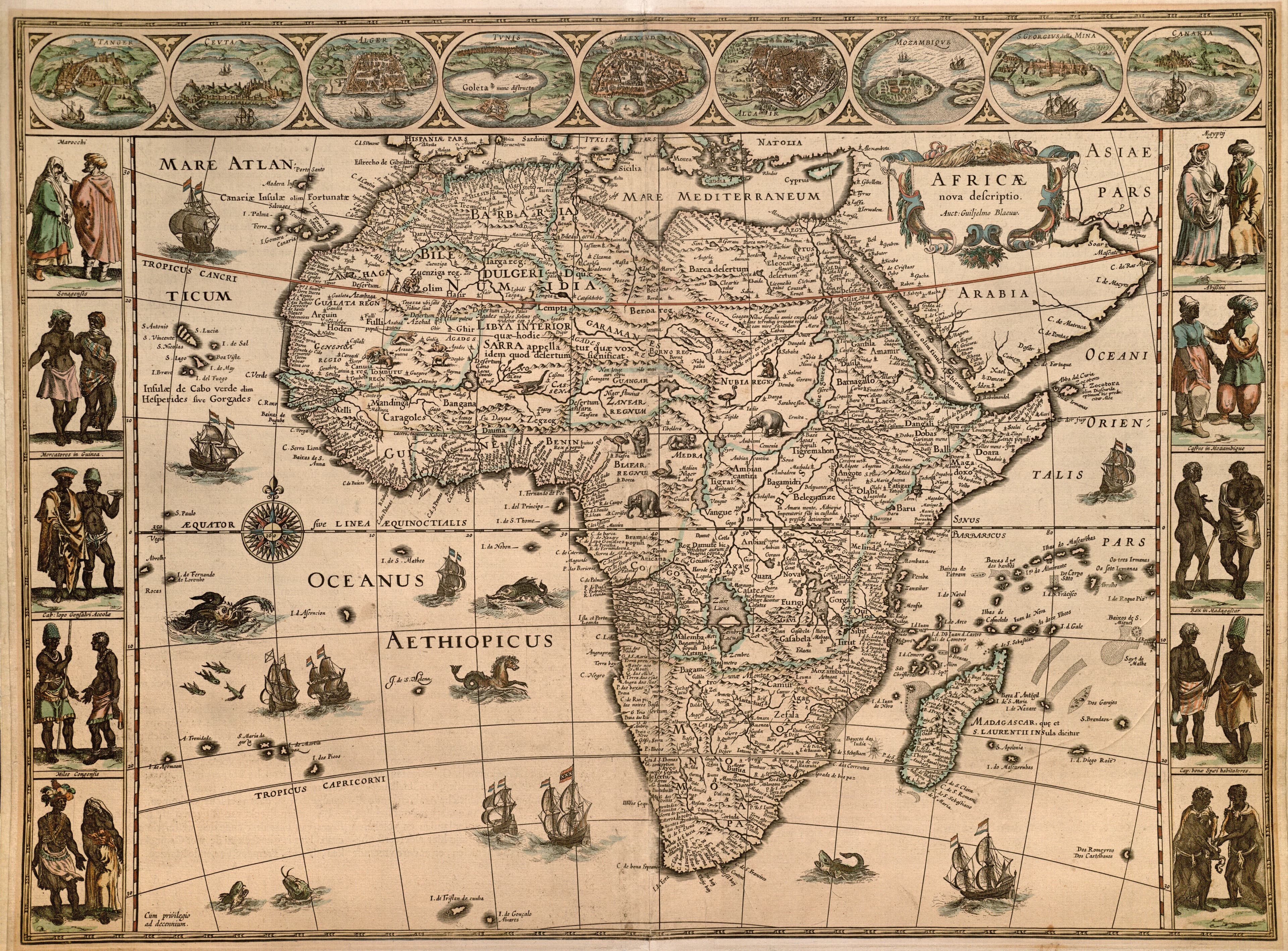
The Continents
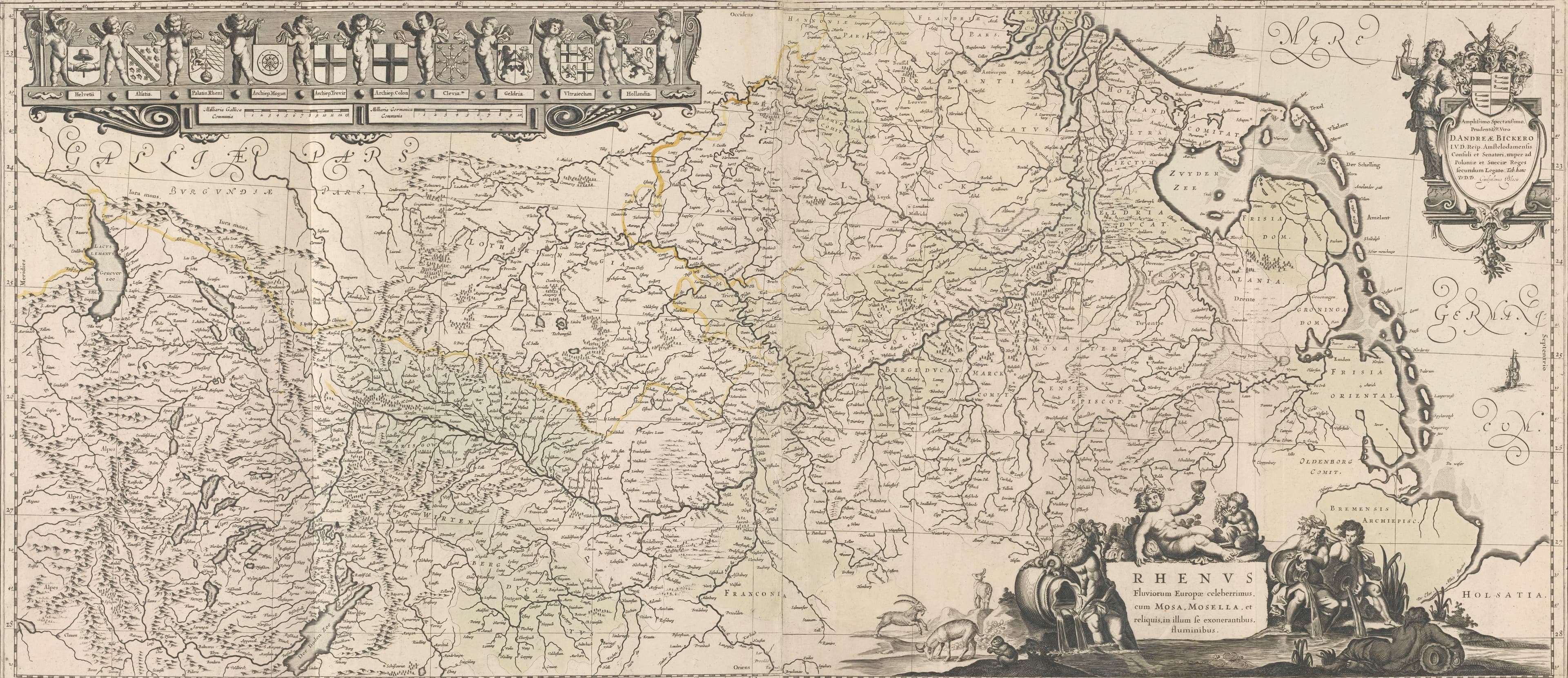
The Rhine from Switzerland to Holland
One river, ten coats of arms, held up by putti.
- Map
- Kaart van het stroomgebied van de Rijn
- Mapmaker
- Willem Janszoon Blaeu, publisher
- Date
- 1636
- Held by
- Rijksmuseum, Amsterdam
Format
The full-resolution scan, color-managed to the source — yours to print, study, and explore.
Size
$29.00
The story
This folding map of the Rhine basin, published in 1636, puts north on the right so the river can run the long way across the sheet. Along the top a row of putti hold up ten coats of arms, in order from the source to the sea: Switzerland, Alsace, the Palatinate, the archbishoprics of Mainz, Trier and Cologne, Cleves, Gelderland, Utrecht and Holland. Willem Blaeu dedicated it to Andries Bicker, though someone scratched into the plate to remove what stood beneath. The river is the story: one water, and ten powers along its banks.
About this reproduction
- A faithful reproduction of a public-domain map held by Rijksmuseum, Amsterdam — the work is centuries out of copyright.
- Printed to order on 200gsm EMA matte art paper or 400gsm canvas; framed pieces sit behind acrylic.
- Color-managed to the source scan; we correct nothing and invent nothing.
- Ships in 5–10 business days, rolled in a heavy-wall tube (framed and linen-backed pieces ship flat-packed).
- If it arrives less than perfect, we reprint or refund — your choice.
Why our maps cost more than a poster: we print from the highest-resolution scans in existence, at sizes where the engraving itself becomes visible — the sea monsters, the tiny place-names, the burin lines — on matte paper that holds every line without glare.