The Continents
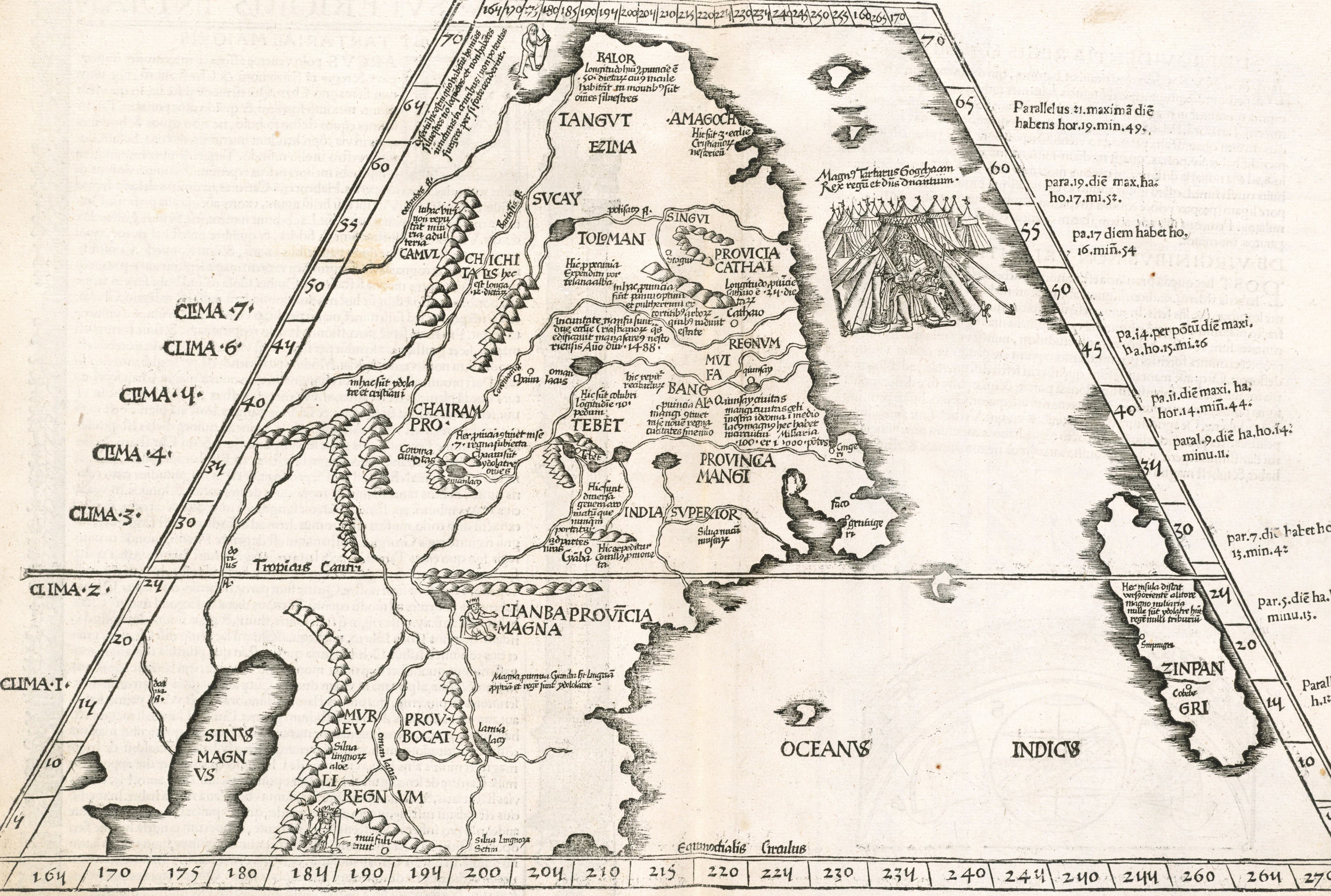
Ptolemy's Upper India and Tartary, 1525
The far east as a Strasbourg printer found it in Ptolemy.
- Map
- Tabula superioris Indiae et Tartariae maioris
- Mapmaker
- after Claudius Ptolemy
- Date
- 1525
- Held by
- Norman B. Leventhal Map & Education Center, Boston Public Library · via Digital Commonwealth
Format
The full-resolution scan, color-managed to the source — yours to print, study, and explore.
Size
$29.00
The story
This map of upper India and greater Tartary, the far east and eastern Siberia, comes from the Geographia of Ptolemy printed at Strasbourg by Johannes Grüninger in 1525, at the cost of Johannes Koberger, in the translation of Willibald Pirckheimer with notes by Regiomontanus. Notes on climate and latitude run down the margins, and on the back the description sits inside ornamental borders. Ptolemy wrote in the second century, and here he is, thirteen hundred years on, still the authority on a corner of the world Europe had barely reached. The new learning, printed over an ancient frame.
About this reproduction
- A faithful reproduction of a public-domain map held by Norman B. Leventhal Map & Education Center, Boston Public Library · via Digital Commonwealth — the work is centuries out of copyright.
- Printed to order on 200gsm EMA matte art paper or 400gsm canvas; framed pieces sit behind acrylic.
- Color-managed to the source scan; we correct nothing and invent nothing.
- Ships in 5–10 business days, rolled in a heavy-wall tube (framed and linen-backed pieces ship flat-packed).
- If it arrives less than perfect, we reprint or refund — your choice.
Why our maps cost more than a poster: we print from the highest-resolution scans in existence, at sizes where the engraving itself becomes visible — the sea monsters, the tiny place-names, the burin lines — on matte paper that holds every line without glare.