The Continents
Europe
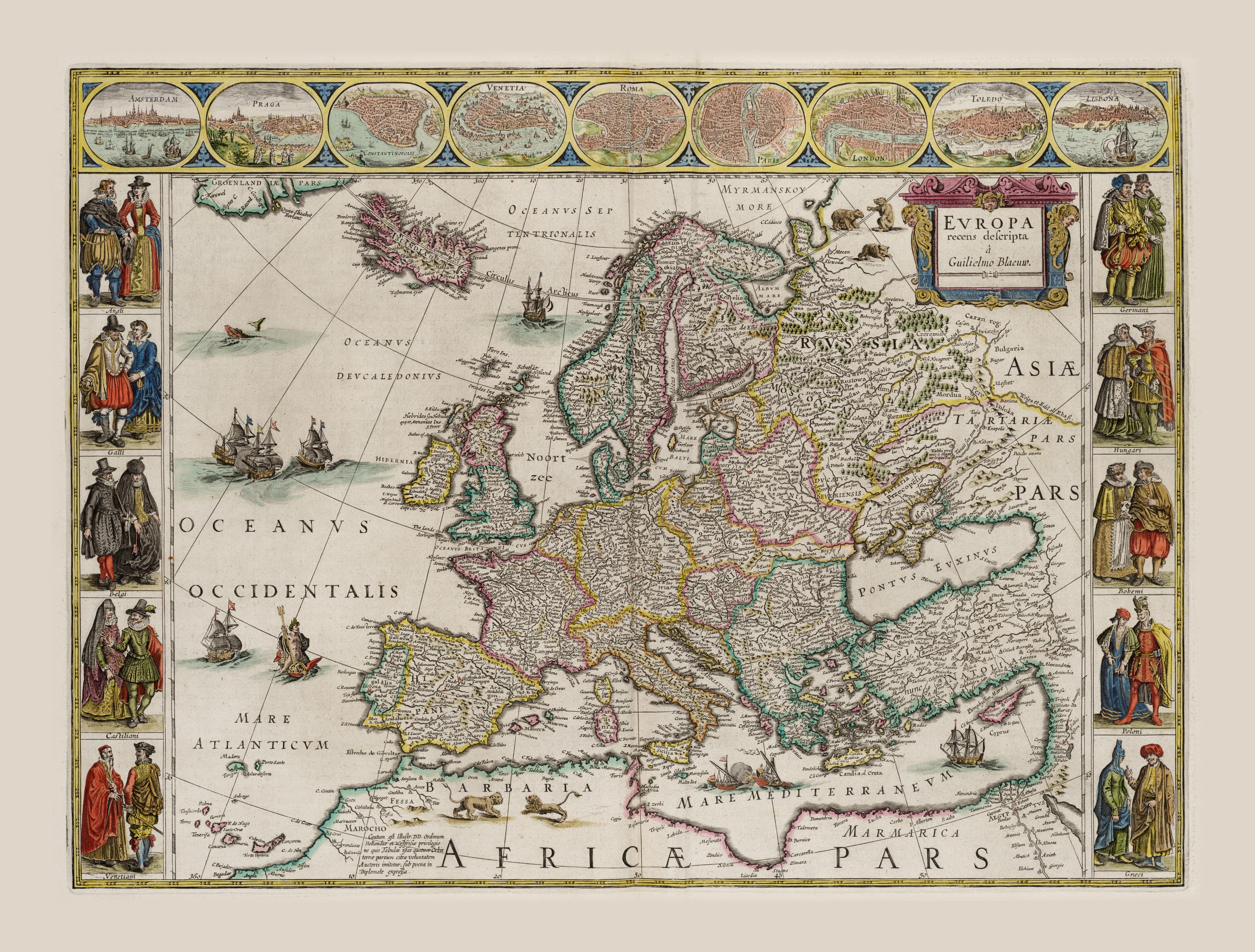
The old world, at the height of its confidence.
- Map
- Europa recens descripta
- Mapmaker
- Willem Blaeu
- Date
- c. 1617
- Held by
- Het Scheepvaartmuseum, Amsterdam
Format
The full-resolution scan, color-managed to the source — yours to print, study, and explore.
Size
$29.00
The story
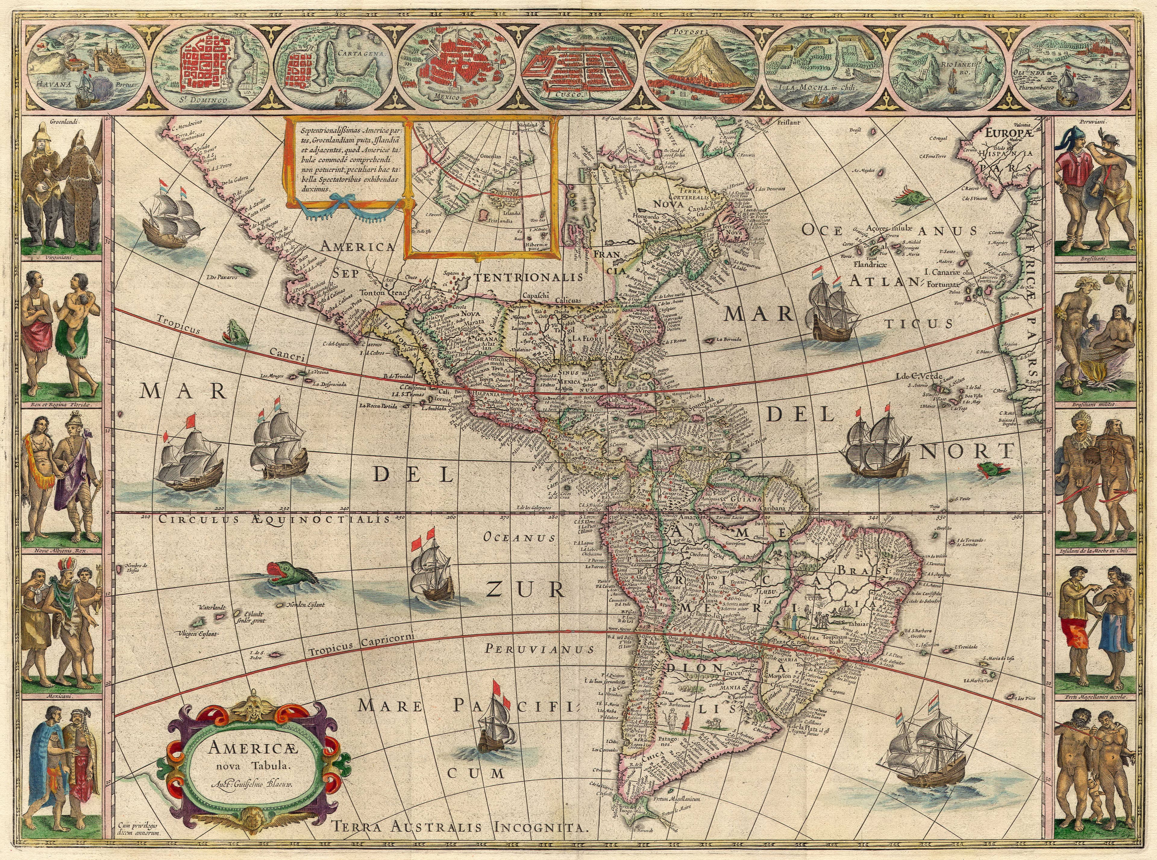
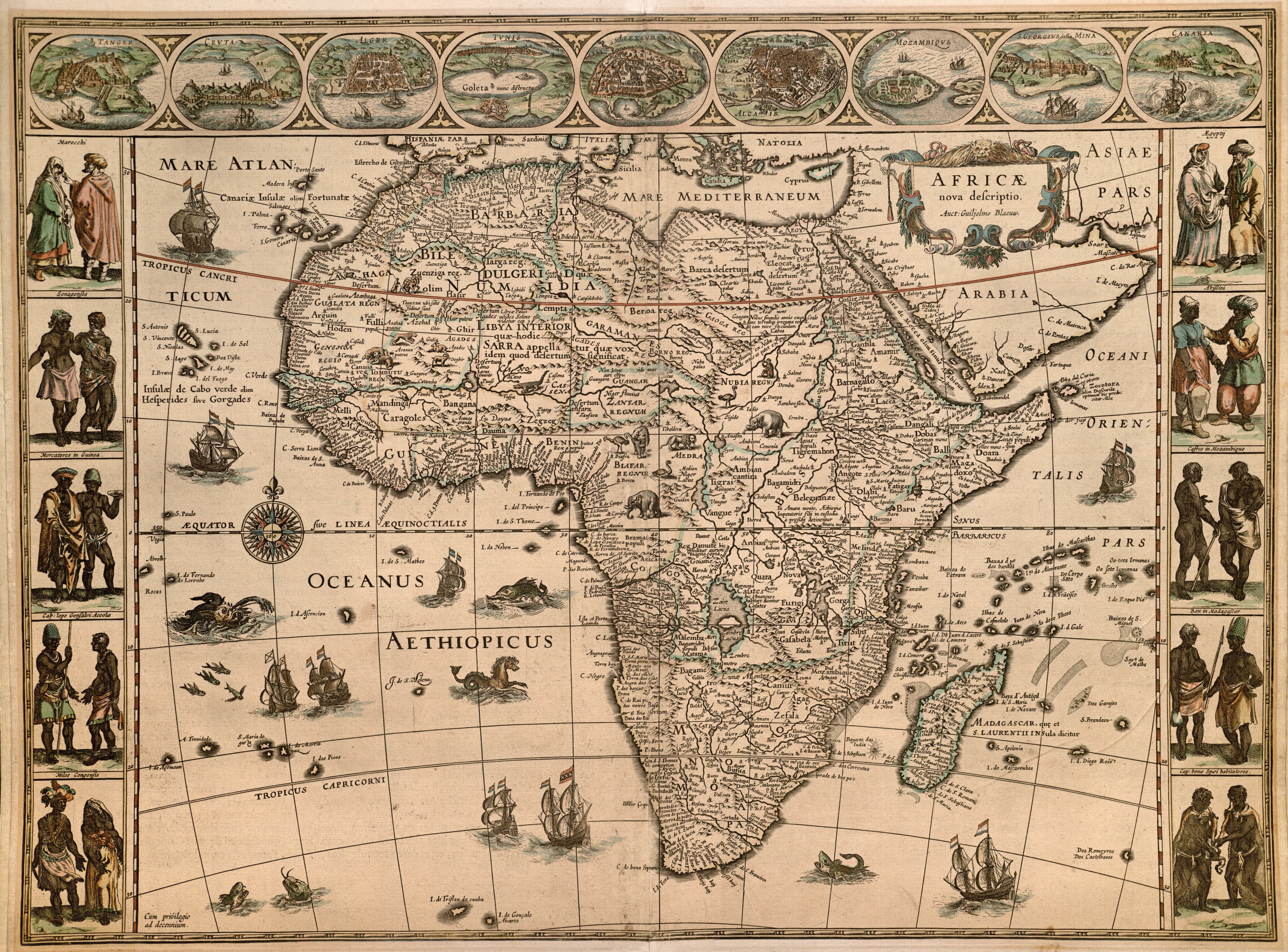

Here the mapmaker is at last on home ground, and it shows: Blaeu's Europe is dense, assured, and proud, its borders crowned with views of London, Paris, Rome, and Amsterdam and figures of the continent's nobility in their finery. This was the Europe that was busy mapping — and claiming — the rest of the world, drawn by the city that had become the mapmaking capital of the Earth. The fourth quarter of the classic four-continent set, and its confident centre of gravity.
About this reproduction
- A faithful reproduction of a public-domain map held by Het Scheepvaartmuseum, Amsterdam — the work is centuries out of copyright.
- Printed to order on 200gsm EMA matte art paper or 400gsm canvas; framed pieces sit behind acrylic.
- Color-managed to the source scan; we correct nothing and invent nothing.
- Ships in 5–10 business days, rolled in a heavy-wall tube (framed and linen-backed pieces ship flat-packed).
- If it arrives less than perfect, we reprint or refund — your choice.
Why our maps cost more than a poster: we print from the highest-resolution scans in existence, at sizes where the engraving itself becomes visible — the sea monsters, the tiny place-names, the burin lines — on matte paper that holds every line without glare.